+86 15093323284 hams@ailunce.com




APRS System Fundamentals: Master Outdoor Position Tracking Setup
- Sophie
- APRS Basics, HAM Radio, Outdoor Communication, Position Tracking, Retevis Ailunce H1, AX.25 Protocol, DMR Radio, APRS Digipeater, Amateur Radio, Outdoor Safety
APRS System Fundamentals: Core Design Logic
APRS, short for Automatic Packet Reporting System, is a real-time data broadcast system built for amateur radio. Understanding APRS system fundamentals is the prerequisite for every APRS setup and the starting point for outdoor position tracking.
Connectionless Broadcast Transmission
Unlike traditional point-to-point communication, APRS uses a connectionless broadcast mechanism: all packets are sent directly over the air, and any node within coverage can receive them with no handshake, no acknowledgment, and no guaranteed delivery. This design prioritizes real-time distribution and efficiency, fitting one-to-many scenarios like outdoor positioning and emergency communication. This is the core reason why no recipient address is required in APRS setup.
Global Situational Consistency
APRS aims to deliver identical situational information to all nodes in the network. All nodes parse broadcast content with a unified data format and present the same node distribution and location status on maps. This keeps every outdoor team member on the same global position picture during operations.
Decaying Refresh Strategy
To balance channel occupancy and information timeliness, APRS uses a decaying refresh mechanism: packets go out at high frequency when a position just changes, and the rate drops as the position stabilizes. This explains the "transmit interval" parameter — shorten it for mobile outdoor use, and lengthen it for fixed stations to reduce channel load.
APRS Protocol Stack and Transmission Basics
APRS is not an independent physical layer protocol, but an application layer specification built on standard amateur radio protocols. The two layers together define all APRS transmission characteristics.
Link Layer: AX.25 UI Frames
APRS is fully based on the AX.25 amateur packet protocol and only uses UI frames (Unnumbered Information frames). UI frames carry no sequence number, retransmission or acknowledgment, built specifically for broadcast data and forming the foundation of APRS's connectionless design. For the VHF 2-meter band most used in outdoor communication, the standard APRS rate is 1200bps with AFSK modulation, the default for APRS channels in most regions worldwide.
Application Layer: Standardized Data Encoding
Inside the AX.25 information field, APRS defines a standardized encoding format covering position, status, weather, short messages and more. Position reports most commonly use Mic-E compressed encoding, which greatly shortens packet length and improves transmission success — the reason Mic-E is enabled by default on most APRS devices.
APRS Network Architecture and Core Nodes

APRS is a typical self-organizing distributed network. Four types of core nodes work together to form a complete APRS position tracking system.
Terminal Nodes
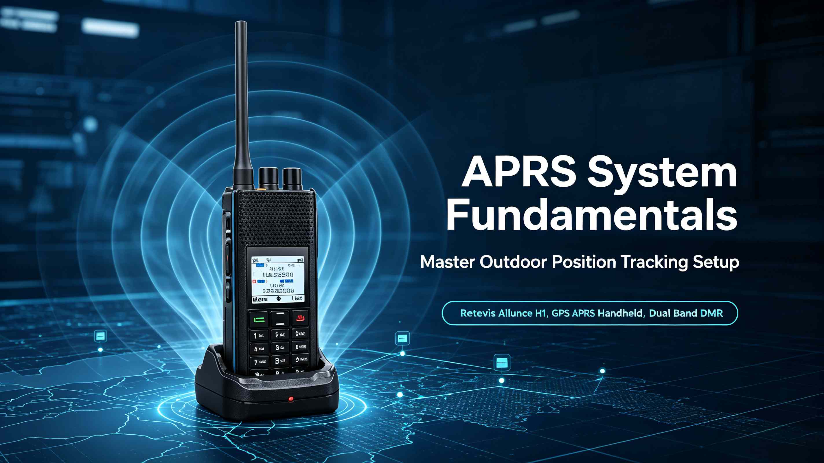
Terminal nodes are the source and receiver of information, made up of a transceiver, TNC (Terminal Node Controller) and a data source. In outdoor scenarios they are usually GPS-equipped APRS handhelds, mobile radios, or transceivers paired with APRS phone software. Take the Retevis Ailunce H1 as an example: this 6-watt, GPS-equipped dual-band DMR handheld integrates GPS, TNC and radio in one unit, supports both digital APRS and analog APRS transmission and reception, and acts as a terminal node right out of the box — just configure your callsign and path. No external GPS module or data cable needed.
Digipeater Nodes
Digipeaters forward packets and are the core of APRS wide-area coverage. The mainstream WIDEn-N hop control mechanism — WIDE2-2 means up to 2 forwarding hops — decrements the remaining hops by 1 per digipeater and stops at zero to avoid broadcast storms. This is the core basis of APRS path settings. For outdoor use, the default path WIDE1-1,WIDE2-1 is recommended.
Gateways and Servers
IGate gateways bridge the radio network and the internet, uploading local radio signals to the global APRS-IS server and forwarding internet data back to the local radio network. End users can retrieve data via web pages or client software and view real-time positions of all nodes on a map.
A Complete APRS Position Data Flow
Take a hike with the Retevis Ailunce H1 in hand. Its built-in GPS collects position and speed data; the terminal encodes them into an AX.25 UI frame beacon per APRS standards and broadcasts it over VHF. Terminals in range receive it directly; digipeaters verify the hop rules and forward it to extend coverage; the local IGate uploads the packet to APRS-IS. Your teammates anywhere in the world can then see your real-time position on a map through web or client platforms.
Why APRS System Fundamentals Matter for Setup
Mastering APRS system fundamentals lets you solve setup issues at the root: if digipeating fails, first check whether your path complies with WIDEn-N rules; if data doesn't reach the gateway, first confirm frequency and modulation; if tracking is choppy while moving, adjust the transmit interval and encoding format. Devices like the H1 that support both digital and analog APRS cover more network environments and deserve priority when you choose hardware. Once you understand the underlying logic, you can tune APRS configuration for different outdoor scenarios instead of copying fixed parameters — making APRS position tracking a real safety net for team outings.